Field Cam
Key results
- 414 framesCaptured and analysed on the first on-water field test
- v1.0.0Released to device and field-tested on the water
- Live reviewPhotos classified in real time during the survey
Overview
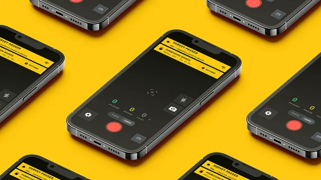
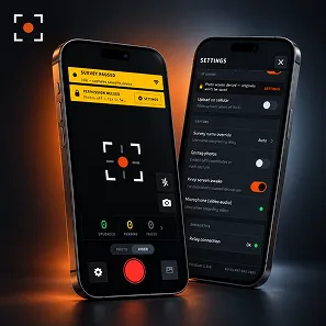
FieldCam is a native iOS survey camera built specifically for professional marine surveyors. During an active survey, every photo is captured, geotagged, and uploaded live over a private network to a classifier relay, so the surveyor can review photo coverage on an iPad while still aboard the vessel. It is designed for a dedicated iPhone shooting hundreds of photos per job, with a resilient upload queue, precise exposure control, and offline-safe capture. Tecaudex delivered end-to-end native iOS development.
About the Client
FieldCam was built for an accredited marine surveyor (SAMS — Society of Accredited Marine Surveyors) who runs a survey-automation workflow. The app is the capture component of that larger platform, feeding photos to a classifier for live review.
Marine surveyors shoot hundreds of photos per vessel survey and often only discover coverage gaps back at the office. The goal was a dedicated capture app that streams photos live for on-site review so nothing is missed before leaving the boat.
Challenges
- Hundreds of photos per survey
- Coverage gaps found too late
- Poor signal on remote moorings
- Inconsistent exposure out on the water
- Generic camera apps lose metadata
Surveyors risked costly return trips whenever missed shots only surfaced after they had already left the vessel.
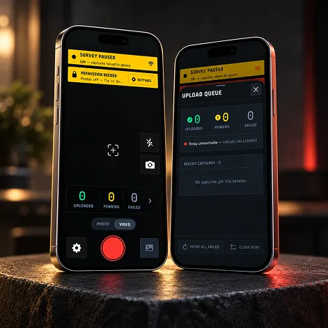
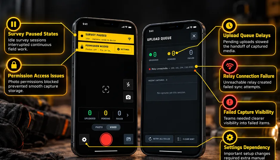
Reliable live upload over an unstable marine network — solved with a persistent, retrying on-device upload queue, survey-epoch handling, and a deferred-capture controller that waits for autofocus and exposure to converge before shooting, all over a private Tailscale link.
What we built
- In-App Survey Camera
- Live Photo Upload
- Survey-Mode Gating
- Persistent Upload Queue
- Deferred Capture Control
- Exposure Policy Control
- Tap-to-Focus
- Burst Capture
- Zoom & Lens Selection
- Flash Control
- Video Recording
- GPS EXIF Geotagging
- HEIC / JPEG Transcode
- Survey Status Bar
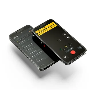
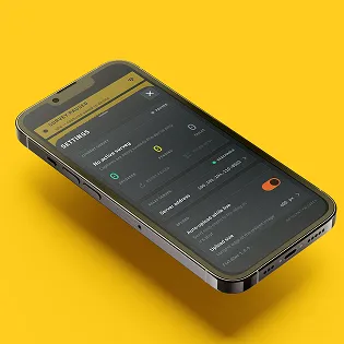
- Relay Settings